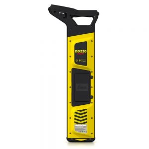
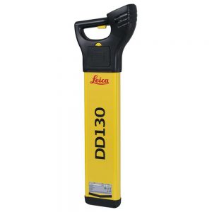
Leica ULTRA Standard Utility Locator with Mapping

0.00

Description

Save time and increase confidence in your results with the Leica ULTRA, our most advanced precision utility tracing instrument.

The complexity of underground utility networks is continually increasing, and obtaining precise information on the location of buried utilities has never been more important. The protection of buried assets during excavation work demands accurate mapping and surveying of existing utilities.

Integrating intelligent signal processing with unique flexible operating modes, Leica ULTRA traces buried utility lines accurately for safe underground excavations and utility surveys. Outstanding performance with operational ease and flexibility.

Specifications

SPECIFICATIONS TECHNICAL DATA
Model No’s Ultra-Standard
Modes Power, Radio, Auto & transmitter
Frequency range 50 Hz to 200 kHz, 100 custom frequencies
Depth range (Line) 6m
Depth range(with transmitter) 6m
Depth Accuracy ± 5%
Operating temperature -20 to +50 °C
Certification IP66 Dust proof & water resistant
Types of material that can be detected Metal pipes, Cables
Battery life 30hrs
Additional features ——-
GPS Supports external GIS or GNSS System
Internal memory ——-
Bluetooth
High contrast graphical LCD
AIM
Off set depth
Receiver transmitter communications
Line direction compass with proportional L/R arrow guidance
Fault finding with Signal transmitter

Datasheet

Save time and increase confidence in your results with the Leica ULTRA, our most advanced precision utility tracing instrument. please download Datasheet.

Download Data Sheet

Accessories