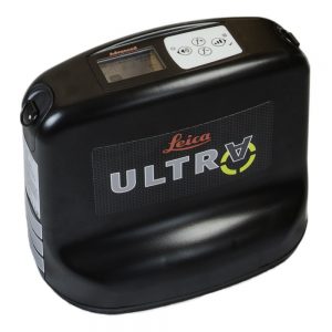
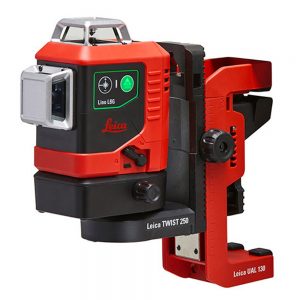
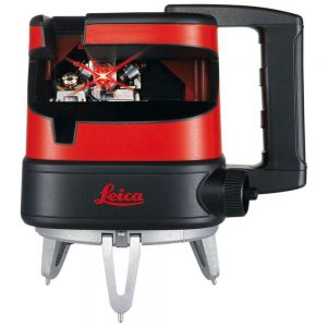
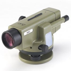
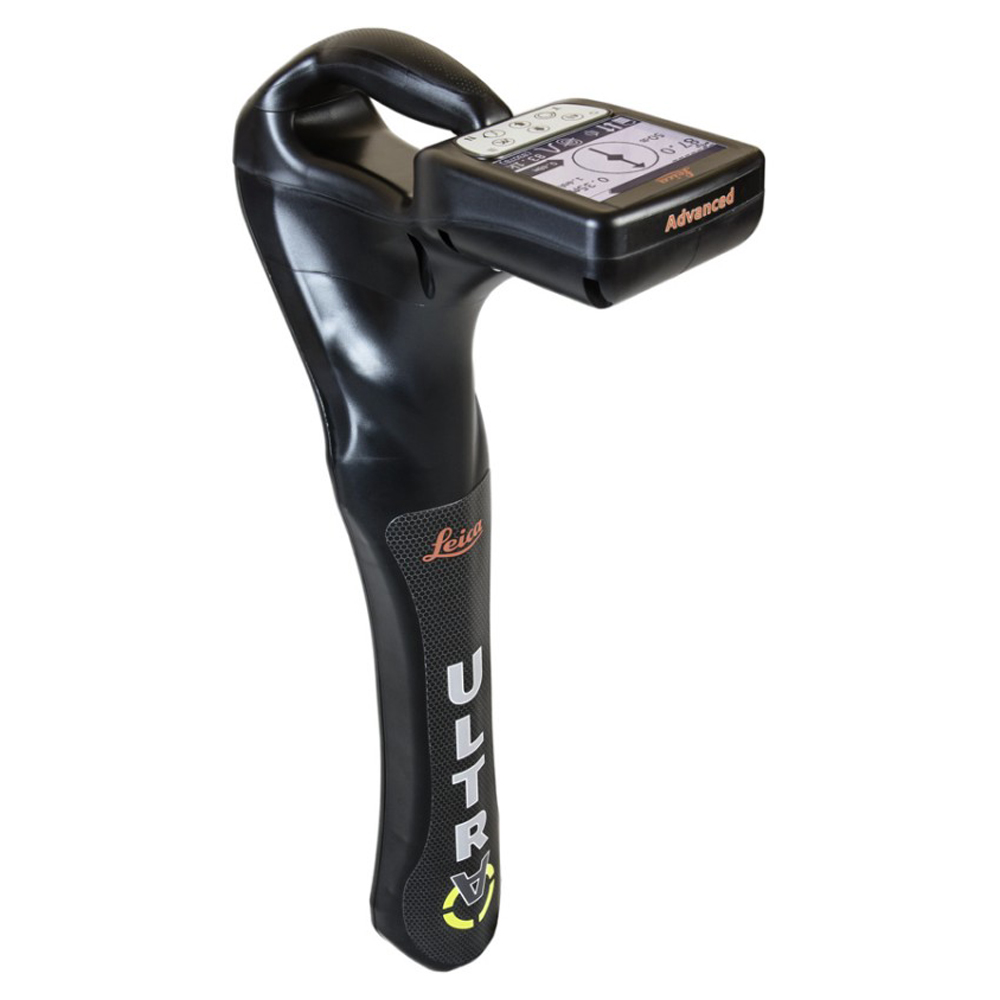
Leica ULTRA Advanced Utility Locator with Mapping

0.00

Description

The ULTRA System has unique flexible operating modes to help you easily decide the right mode for your locating application and site conditions.

  • Signal optimization
  • Transmitter remote control
  • Bluetooth survey interface compatible with ZENO, VIVA GS14/15

Precision locating, for utility tracing

The complexity of underground utility networks are continually increasing. So obtaining precise information on the location of buried utilities has never been more important. The protection of buried assets during excavation work demands accurate mapping and surveying of existing utilities.
Specifications

SPECIFICATIONS TECHNICAL DATA
Model No’s Ultra-Advanced
Modes Power, Radio, Auto & transmitter
Frequency range 50 Hz to 200 kHz, 100 custom frequencies
Depth range (Line) 6m
Depth range(with transmitter) 6m
Depth Accuracy ± 5%
Operating temperature -20 to +50 °C
Certification IP66 Dust proof & water resistant
Types of material that can be detected Metal pipes, Cables
Battery life 30hrs
Additional features ——-
GPS Supports external GIS or GNSS System
Internal memory ——-
Bluetooth
High contrast graphical LCD
AIM
Off set depth
Receiver transmitter communications
Line direction compass with proportional L/R arrow guidance
Fault finding with Signal transmitter

Datasheet

The ULTRA System has unique flexible operating modes to help you easily decide the right mode for your locating application and site conditions. please download Datasheet.

Download Data Sheet

Accessories